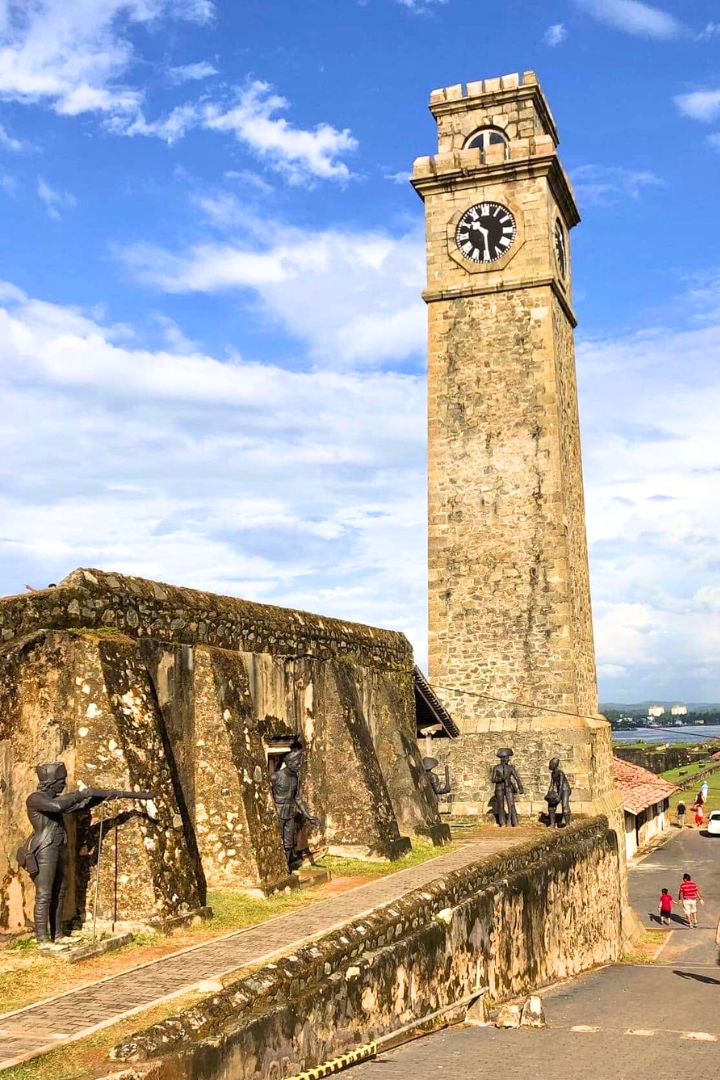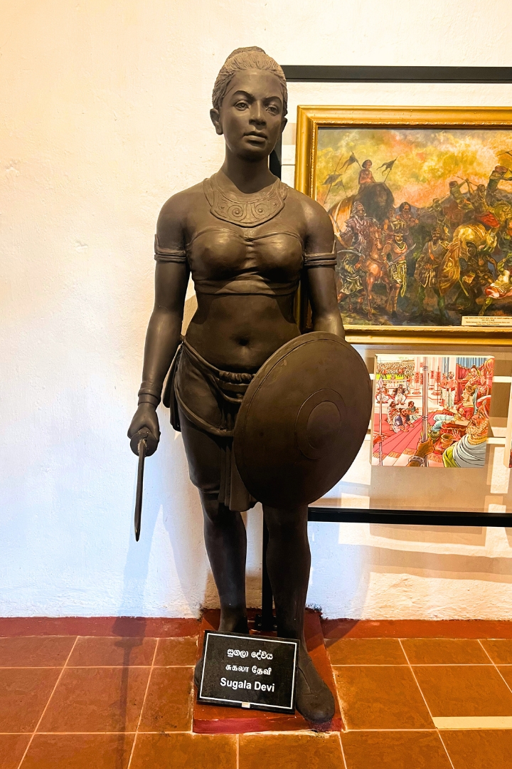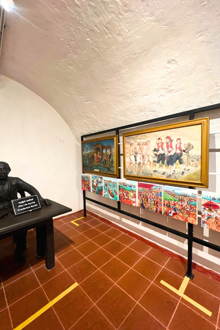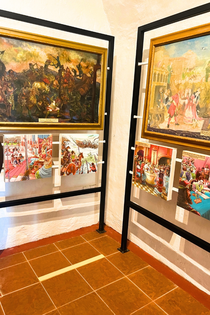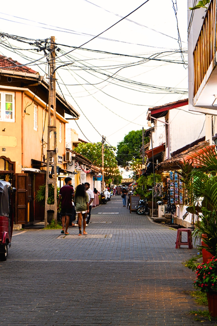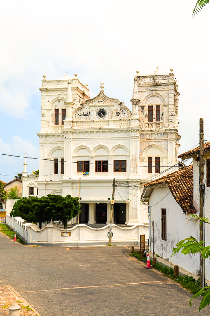
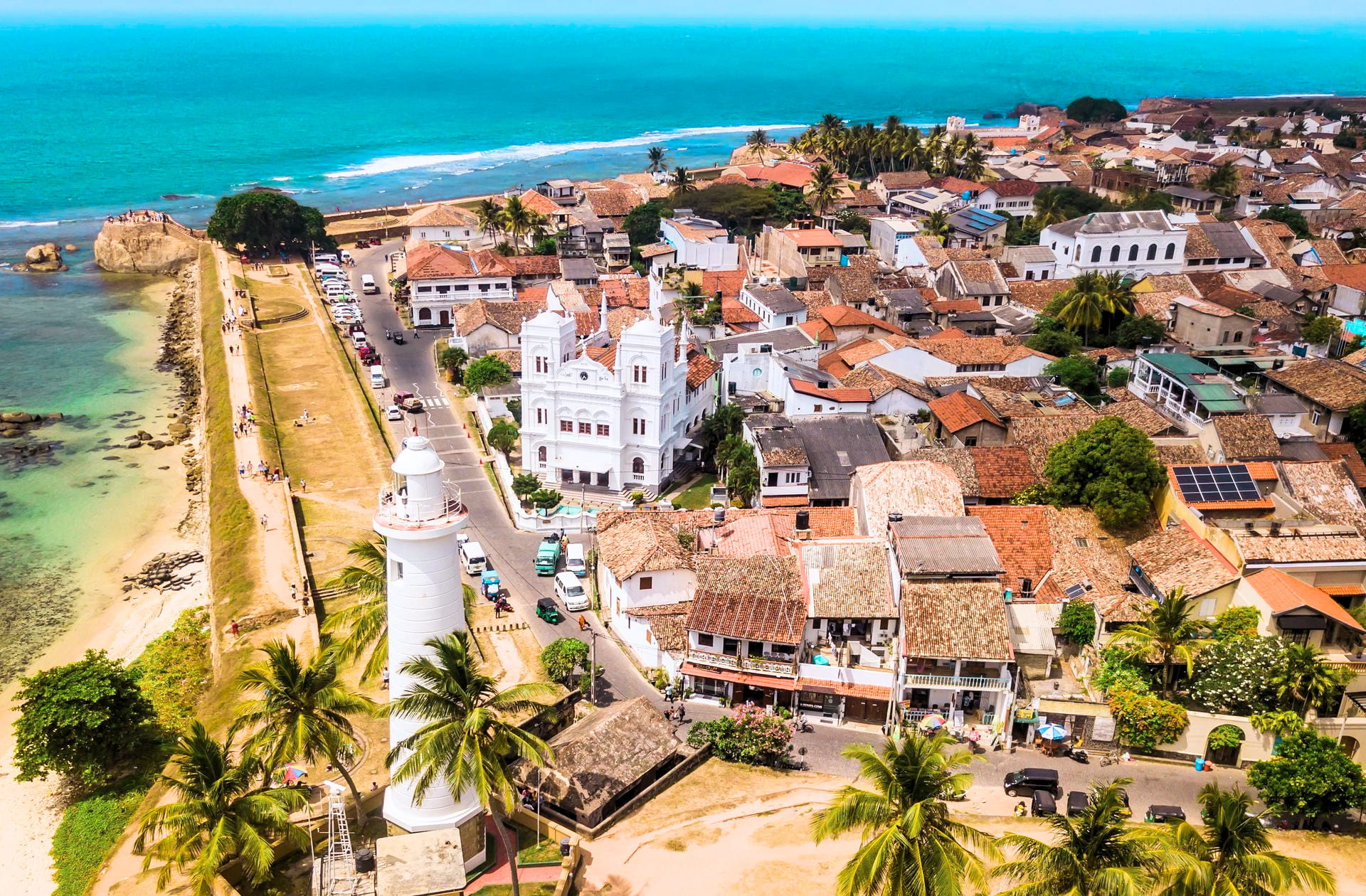
The story of Galle Fort cannot be separated from the sea. Long before modern shipping routes shifted toward Colombo, Galle was one of the island's most important ports linking Sri Lanka to wider trade networks across Asia, the Middle East and Europe. Its position on the coast made it strategically valuable while its harbour helped support commerce, administration and maritime movement. The walls, bastions and sea-facing defences that still define the fort today were designed in direct response to that maritime importance. What makes Galle Fort distinctive is that it remains understandable as a complete historic town. Streets, places of worship, civic buildings, houses and defensive structures continue to exist within a coherent urban plan that reflects centuries of adaptation and use. The town retains an authentic charm that captivates every visitor. The town retains an authentic charm that captivates every visitor. The town retains an authentic charm that captivates every visitor.
In 1988 UNESCO inscribed the Old Town of Galle and its Fortifications as a World Heritage Site. The designation recognises the fort as one of the best surviving examples of a fortified city built by Europeans in South Asia. Equally important is the way European planning principles interacted with local building traditions, climate and urban life to create something distinct to Sri Lanka. Rather than preserving a single monument, UNESCO recognises Galle Fort as an entire urban ensemble. It is a living town whose streets and architecture continue to communicate its layered history.
HistoryPortuguese Beginnings
Galle's connection to international trade stretches back centuries but the foundations of the present fort began during Portuguese rule in the 16th century. The Portuguese established an early fortified settlement to protect their interests along the coast. While much of that original fortification no longer survives in its earliest form it laid the groundwork for what would become one of the region's most significant fortified towns. Their arrival marked the beginning of a long period of European influence that would shape the physical and cultural landscape of the peninsula.
DevelopmentThe Dutch Fort
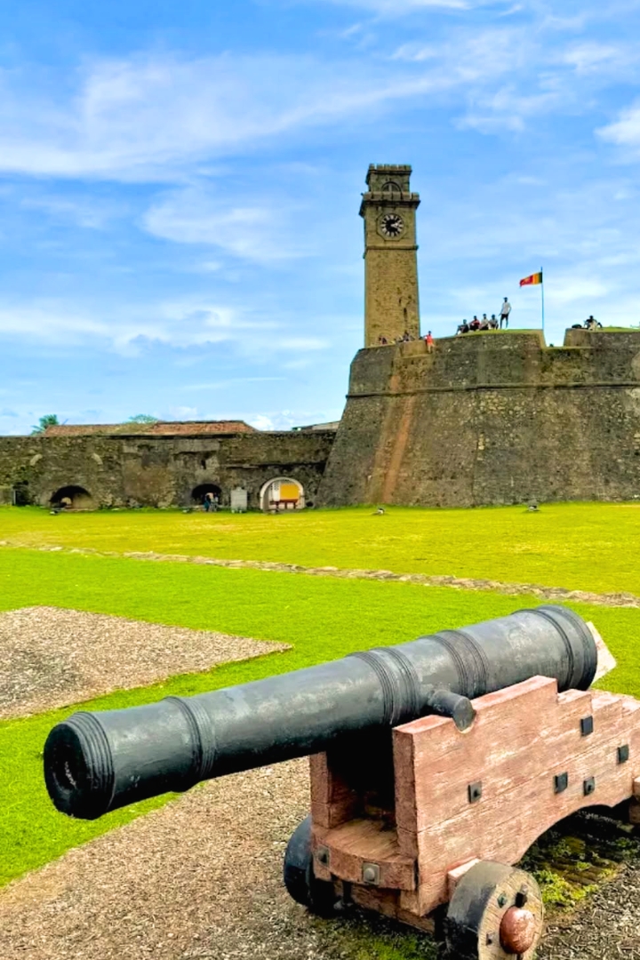
The defining phase of Galle Fort's development came under Dutch rule. After taking control of the settlement the Dutch substantially rebuilt and expanded the fortifications creating the bastioned walls, gridded streets and planned urban layout that remain visible today. By the 18th century Galle had reached the height of its development as an important administrative and commercial centre. This Dutch phase explains why many visitors still refer to the site as the Dutch Fort Galle even though its story extends beyond a single colonial period. The grid system they implemented provided a structured framework that allowed the town to function efficiently while accommodating residential, commercial and military needs within a confined space.
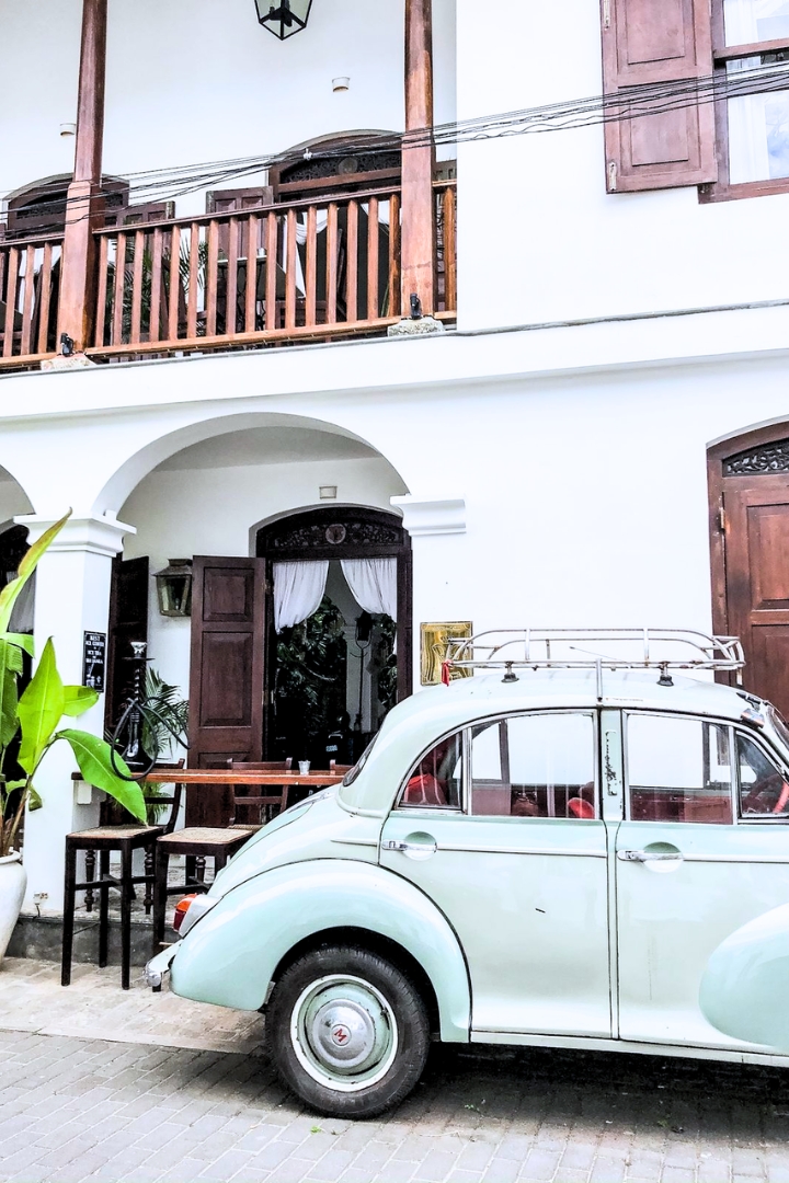
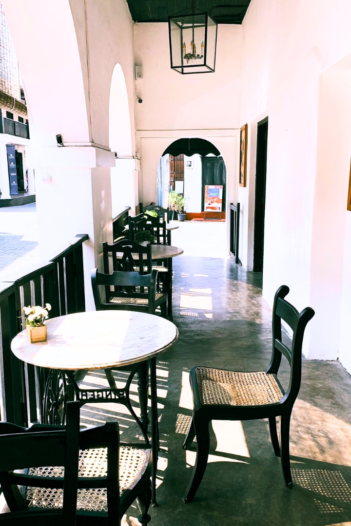
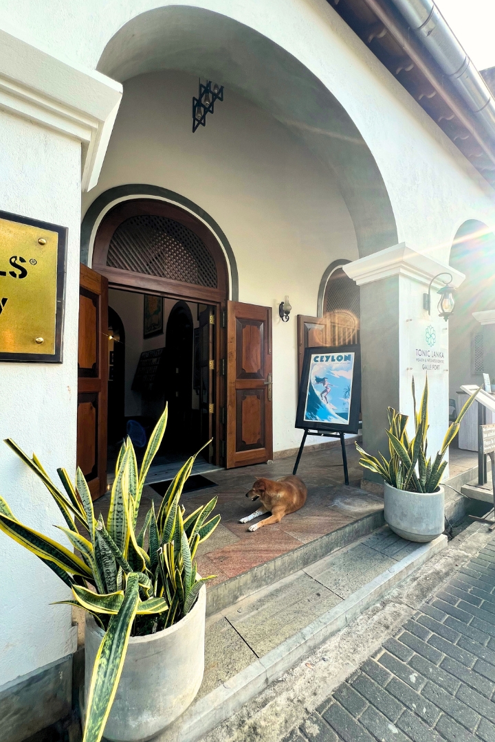
The architecture introduced by the Dutch was not merely transplanted from Europe. It was adapted to the tropical environment of the coast. Thick walls were constructed from local coral and limestone to provide insulation against the heat. Deep verandahs supported by solid pillars offered shade and transition spaces between the intense glare of the street and the cool interiors of the houses. Internal courtyards allowed for cross-ventilation and captured the sea breezes that move across the peninsula. These design choices created a distinct architectural vocabulary that blends European forms with local climatic realities.
EvolutionBritish Influence and Later Layers
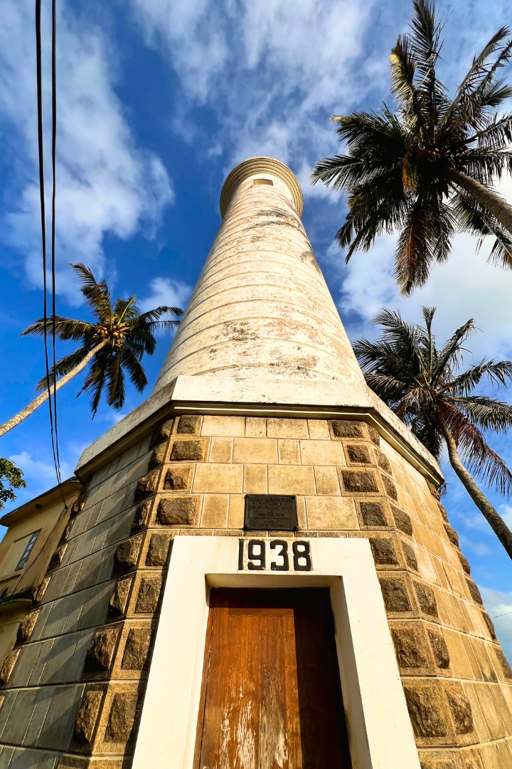
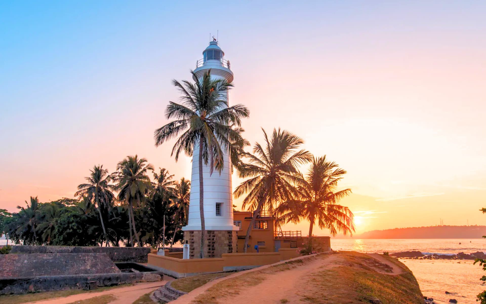
British control began in 1796 introducing another layer to the fort's development. As Colombo gradually replaced Galle as the island's principal port the fort's strategic role diminished. Yet the town remained active through administration, commerce, religion and residential life. Many buildings were adapted, repurposed or expanded over time adding to the layered character that defines the fort today. The British introduced their own architectural elements such as the prominent lighthouse and various administrative buildings which integrated with the existing Dutch grid and Portuguese foundations.
ArchitectureAtmosphere Inside the Walls
One of the reasons Galle Fort remains so compelling is that its architecture feels lived-in rather than monumental. Narrow streets are lined with houses, merchant buildings, churches, courtyards and civic structures defined by centuries of occupation. Verandahs provide shade, internal courtyards offer ventilation and architectural details reveal the practical adaptation of European forms to a tropical coastal environment. The result is not purely European and not purely local. Instead it reflects the interaction of traditions that UNESCO identifies as central to the fort's significance. Every structure tells a story of adaptation, survival and continuous use.
Unlike many historic sites Galle Fort is not experienced as a museum. People continue to live and work within its walls. Religious buildings remain active. Homes sit alongside businesses. Daily routines unfold within a setting that also carries global heritage status. This continuing life is part of what gives the fort its atmosphere. Its value lies not only in preservation but in continuity. The sound of calls to prayer mingles with the chimes of church bells and the daily hum of commerce illustrating the diverse cultural fabric that has evolved within this confined space over centuries.
DefencesThe Ramparts and Sea Edge
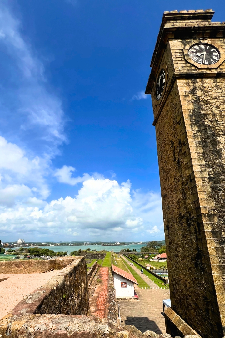
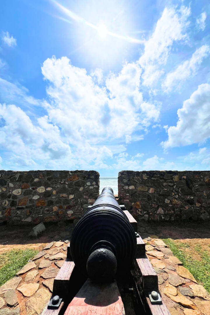
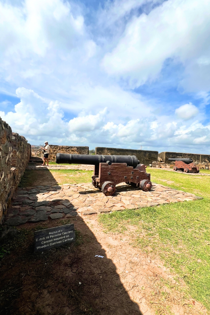
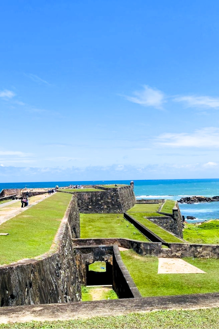
The ramparts remain the clearest expression of the fort's original defensive purpose. Stretching along the ocean edge they reveal how the town was designed to engage with both land and sea. Bastions project outward toward the coastline while elevated walls provide long views across the Indian Ocean. Walking along these walls offers a perspective that connects the internal urban grid with the vast expanse of the ocean. Rather than approaching Galle Fort only through specific activities it is often more rewarding to understand the ramparts as part of the fort's broader relationship with geography, defence and maritime history.